USDA FOREST SERVICE
Pacific Southwest Research Station
Fire Science: Wildfire Monitoring and Prediction
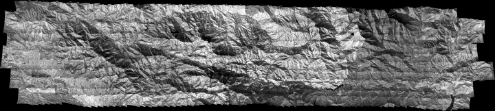
Western San Gabriel mountains, Los Angeles County, CA 29 September 2011

|
||
Flash version of this page
Surface temperatures as estimated from radiance measured at 8-12 micrometers wavelength in the thermal infrared by the PSW FireMapper system.
Downloads and Links |
PDF |
Shapefile |
GeoTIFF |
JPEG |
| Concurrent Clear Creek Weather |
| Southern California Vegetation Age |
Pacific Southwest Research Station (510) 559-6300 |