Cooney Ridge Fire,
Missoula, Ravalli, and Granite Counties, MT
2 September 2003
As viewed by the FireMapper™ Thermal-Imaging
Radiometer
Images were collected from the PSW Airborne
Sciences Aircraft and disseminated in part by satellite
communications in near-real time. FireMapper measures the
radiance of emitted thermal-infrared light, which readily
penetrates smoke. False-color images shown here depict
the apparent surface temperature (in Celsius) as estimated
from radiance and a simple black-body model. Warmer tones
represent recent or active combustion; areas of gray are
cooling ash or warm bare ground (see chart below). Low
temperatures of unburned forest and cool ground are shown
in green. Images have been geographically referenced. Vertical
exaggeration in 3-d views is 1.5 to one unless otherwise
noted.
|
| |
|
Location Map
Area of Cooney Ridge fire
|
>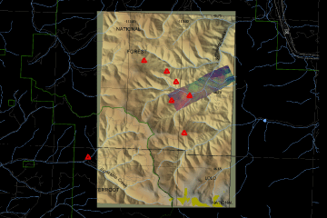
Click on the image above to view a larger JPEG image
|
| |
|
Fire Imagery
|
The following color-coded images depict apparent ground surface temperatures
in Celsius. Roads, streams, and the text in the background are from
a 1:100,000 topographic map.
|
| |
|
|
Image 1:
Ground surface temperatures as viewed from above at 11.9
micrometers wavelength on 2 September 2003, from 15:43
to 16:39 MDT.
|
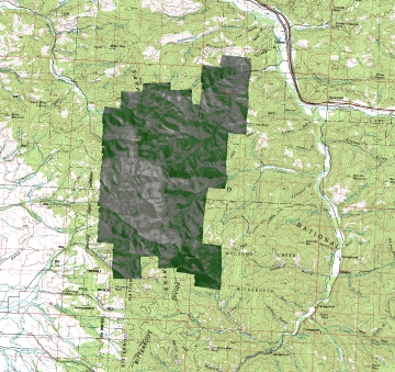
Click on the image above to view a larger JPEG image |
|
|
|
|
Image 2:
Topographic view as seen from the northeast of Image 1.
|
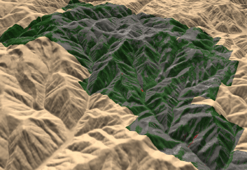
Click on the image above to view a larger JPEG image |
| |
|
|
Image 3:
Topographic view as seen from the northeast of Image 1.
|
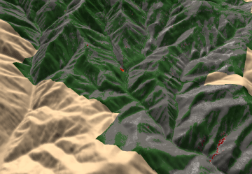
Click on the image above to view a larger JPEG image |
Narrative
from the INCIDENT MANAGEMENT SITUATION REPORT
TUESDAY SEPTEMBER 2, 2003 - 0800 MDT. (Courtesy of www.nifc.gov.) |
| COONEY RIDGE,
Southwestern Land Office, Montana Department of Natural Resources &
Conservation. A Type 2 Incident Management Team (Kechter) is
assigned. This fire is in timber,
11 miles east of Florence, MT. Active ground fire, torching
and short, wind and terrain-driven
crown runs were observed. Structure protection is in place
for 100 residences.
|
 Piper Navajo remote sensing aircraft


