Canyon Fire, Kern County, CA
06 September 2011 between 12:09 and 12:32 PDT
As viewed by the FireMapper™ Thermal-Imaging Radiometer
|
|
Click on the image above to view a larger Zoomify image with pan and zoom
or view the JPEG version
(opens a new browser window)
Ground surface temperatures as viewed from above at 8-12 micrometers wavelength in the thermal infrared. |
| |
|
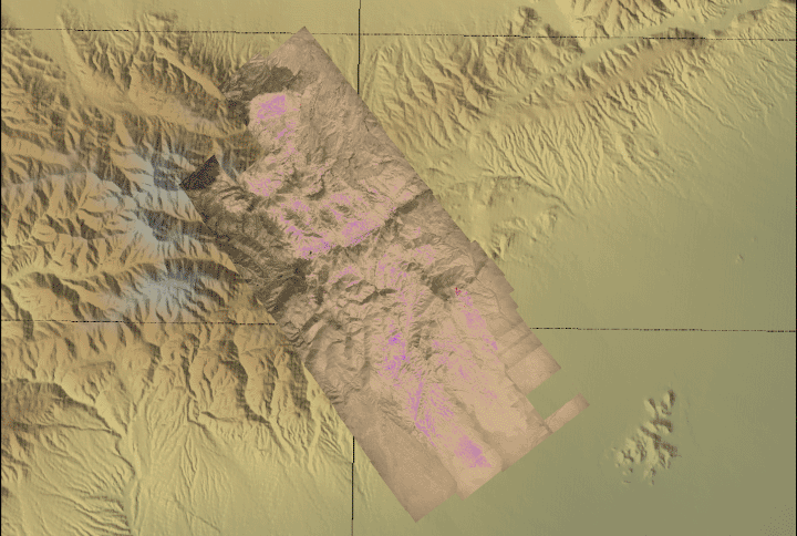
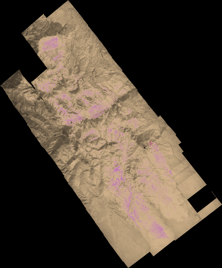
Image 1: Thermal Mosaic
Plan view of fire. Warmer tones (red, orange, yellow) represent recent or active combustion; areas of light gray are cooling ash or warm bare ground and the low temperatures of unburned forest and cool ground are shown in darker gray (see chart above).
Purple is used to show cooling ash but could be associated with bare ground away from fire.
|
Click on the image above to view a larger JPEG image
(opens a new browser window) |
|
|
|
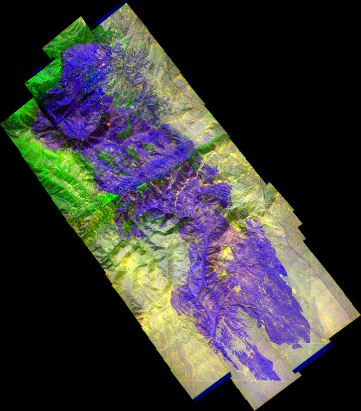
Image 2: False-color Mosaic
Plan view of fire. Hot areas are in blue, and warm ash is in purple.
|
Click on the image above to view a larger Zoomify image with pan and zoom
or view the JPEG version
(opens a new browser window) |
|
|
|
Weather conditions at time of data collection :
Tehachapi station TMNC1; data from NOAA ROMAN system. |
Past Weather Conditions for Tehachapi
Most Recent Observations at September 6, 2011 - 12:53 PDT
| |
12:53 |
Max since Midnight |
Min since Midnight |
24 Hour Max |
24 Hour Min |
| Temperature |
81.0° F |
81.0 at 12:53 |
54.0 at 2:53 |
82.0 at 13:53 |
54.0 at 2:53 |
| Dew Point |
38.6° F |
41.0 at 8:53 |
32.0 at 10:53 |
41.0 at 8:53 |
22.3 at 13:53 |
| Relative Humidity |
22% |
56 at 1:53 |
20 at 10:53 |
56 at 1:53 |
11 at 13:53 |
| Wind Speed |
4 mph from ESE |
6 at 10:53 |
0 at 0:53 |
6 at 10:53 |
0 at 0:53 |
| Wind Gust |
14 mph |
16 at 11:53 |
0 at 6:53 |
16 at 11:53 |
0 at 6:53 |
| Fuel Temperature |
98.0° F |
98.0 at 12:53 |
49.0 at 5:53 |
105.0 at 13:53 |
49.0 at 5:53 |
| 10 hr Fuel Moisture |
4 gm |
9 at 8:53 |
4 at 12:53 |
9 at 8:53 |
3 at 14:53 |
| Battery voltage |
14.10 volt |
14.10 at 12:53 |
12.70 at 2:53 |
14.10 at 14:53 |
12.70 at 2:53 |
|