|
Isla de Guadalupe ,
Baja California Norte
11 February 2004
As viewed by the FireMapper™ system
in reflected red, near-InfraRed and thermal-InfraRed light
Images were collected from the PSW Airborne
Sciences Aircraft
|
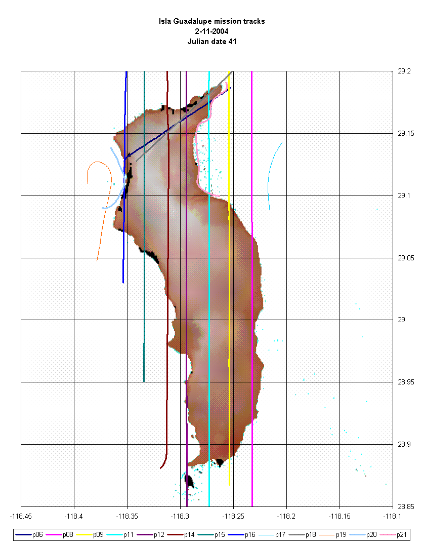
Image 1:
A mosaic of 300 images from 7 transects. |
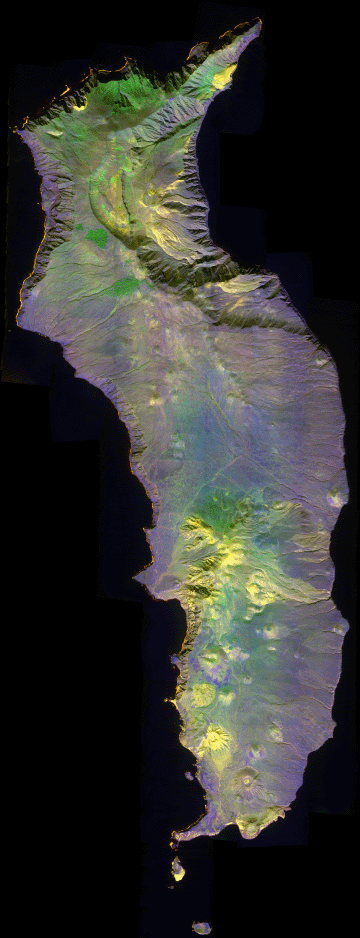
Click on the image above to open the full-resolution Zoomify (JPEG) image in a new browser window
|
| |
This RGB image depicts reflected red light at
650 nm in red, reflected near-IR light at 850 nm in green,
and emitted thermal-IR light at 10.5 um in blue. |
| |
|
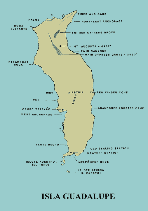
Map:
Sketch map showing landmarks
|

Click on the image above to view a larger JPEG image
|
|
Image 2:
5 meter DEM from aerial photography.
Thanks to Alejandro Hinojosa for sharing this resource.
|
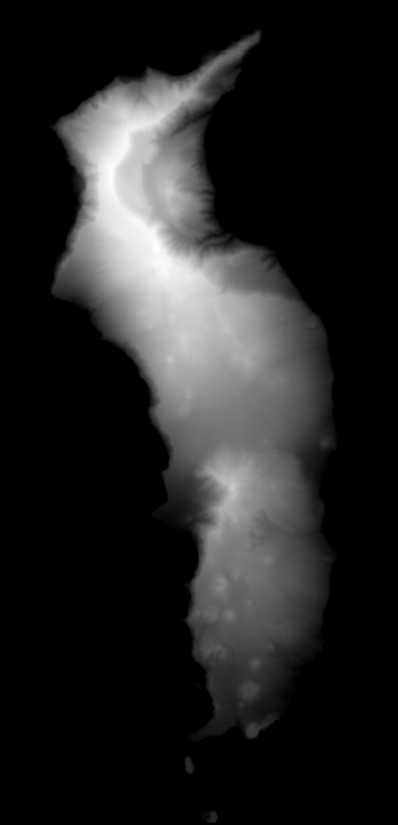
Click on the image above to view a larger JPEG image |
|
|
|
Image 3:
Image from a single low-altitude pass over the Punte del Norte.
.75 meter pixel size; 300 MB file size. |
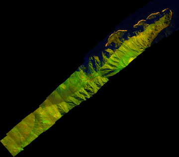
Click on the image above to open a new browser window with a pan-and-zoom full-resolution Zoomify image
|
| |
|
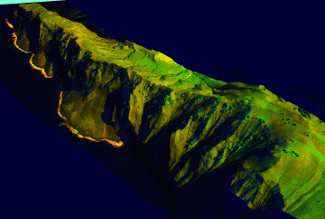
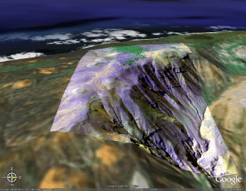
Image 3a:
Perspective view of the northern shore of the Punte del Norte.
No vertical exaggeration.

View the FULL-resolution image of the Punte del Norte transect as a Google Earth overlay (80 MB file).
|
Click on the image above to open a new browser window
|
| |
|
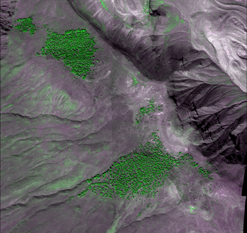
Image 4:
Mosaic showing the Guadalupe Cypress groves.
1.5 meter resolution.
Link to 12 MB geotiff file in zip. |
Click on the image above to open a JPEG image in a new browser window
|
| |
|
Image 4a:
Perspective view of the relic Guadalupe Cypress grove on the highest part of the island.
No vertical exaggeration.
View this reduced-resolution image of the Guadalupe Cypress grove as a Google Earth overlay. |
Click on the image above to open a JPEG image in a new browser window
|
| |
|
Excel Chart:
Showing current available transects from February 11, 2004. |
|
| |
|
|
Learn more about Guadalupe Island vegetation
protection:
|
|


